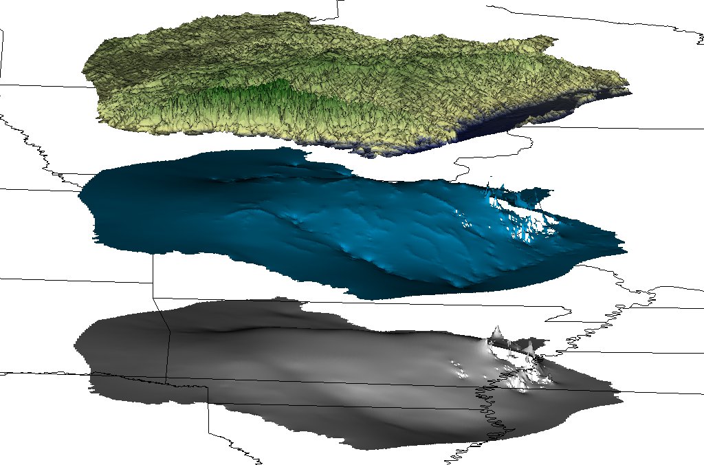
Development of the Hydrogeologic Framework
The groundwater model framework consists of the hydrostratigraphy, structural features, and hydraulic properties of the groundwater system.
The hydrostratigraphy of the groundwater system is developed through the compilation of geophysical, lithologic, and driller logs. Data from each log is scanned or entered into a database with location and altitude information. These logs can then be used to interpret the depth of each hydrogeologic unit (aquifer or confining unit). From this information, a three-dimensional digital model is constructed of the subsurface.
See Also
For more information on the USGS Regional Groundwater Studies, please visit the USGS Groundwater Resources Program.
